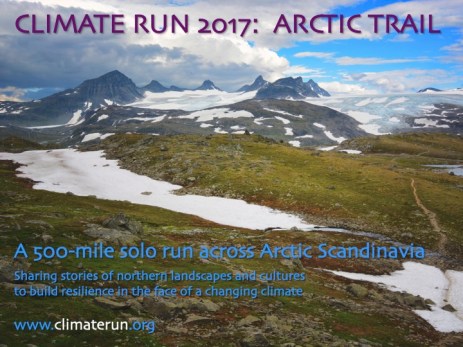
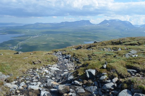
In August 2017, I plan to run the Nordkalottleden [also known as the Nordkalottruta (Swedish), Kalottiretti (Finnish), or the Arctic Trail in English]. The route follows an 800 km marked trail that traverses remote mountainous terrain between Norway, Sweden, and Finland — all above the Arctic Circle between about 67° N to 69° N latitude, and ending only 60 miles from the Barents Sea.
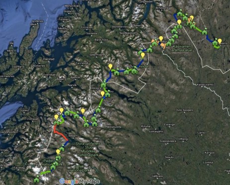
A working Google map of the route can be accessed here:
I hope to set the FKT (Fastest Known Time) for completing a largely self-supported 12-day run on the trail while exploring, recording, and sharing evidence of a rapidly changing climate in the region and its effects on local indigenous Sami communities and on mountain cultures and environments along the entire route.
The logistics and planning for a remote and extended run of this kind are even more involved than they were for my 3-day run across Iceland in 2015. To help with the enormity of the task, I am building community around the ideas of Climate Run:
- Bearing witness to climate change
- Fostering individual and community resilience
- Working to change the narrative about climate change from resistance to resilience
I am also seeking support from sponsors and individuals through fundraising, networking, and, of course, running!
Follow along with me on this incredible journey and find our with me the power of what putting one foot in front of the other can do!
And please don’t hesitate to get in touch.