My dog Dragon and I did an out-and-back run along the new Long Trail section north of the Winooski River on Sunday.
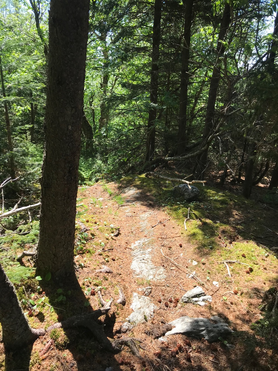
We bounded up the springy softness of the recently opened single-track before turning around at an unnamed summit about 5 miles from the river. Here, the trail turns a little toward the east before heading up toward Bolton Mountain and finally, Mount Mansfield, Vermont’s highest summit.
This little peak was hardly a mountain at all — only a 2,500 ft high point on the climb up to the summit of Bolton Mountain; a copse of fewer than a dozen spruce and an open ledge of schist slanting toward the sun the only real sign that we’d summited anything at all.

The Winooski River crossing in Bolton, VT, is the lowest point on the entire Long Trail — at only 350 feet above sea level. If you look at a topographic map of Vermont, the river cuts a long deep furrow east-to-west across the State’s highest mountains — with Camel’s Hump (4,081′) to the south and Bolton Mountain (3,688′) and Mt. Mansfield (4,393′) to the north — before emptying into Lake Champlain.

The low, nameless summit on this northern side was more than 2,000′ above the riverbank, and, on a sunny June Sunday, we passed only one person during our 10-mile outing.
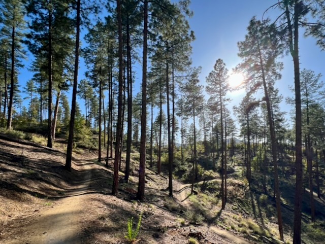
The LT is full of sections like this one — miles of open hardwood forest climbing steadily to low-slung summits, some with shelters just off their shoulders, some with spectacular views, and some that are just a brief pause in a longer upward climb.
It doesn’t matter whether I’m climbing Vermont’s highest peak or cruising through the deep green tunnel of the trail’s southern sections. What matters is moving, exploring, finding new places to love, and step by step, building the resilience to go farther, faster, and with as much joy as possible.
Of course, it doesn’t always work out this way, but I work hard to try to make everything I do be a step in that direction.


Leave a comment